
Make Every Connection Count: Align Your Train and Trail Adventures
Today we dive into Planning Tools: Syncing Train Timetables with Trail Maps for Seamless Rides, turning quick transfers into confident departures and inspiring journeys. You will learn reliable workflows, data sources, and field-tested habits that help you arrive at trailheads relaxed, navigate responsibly, and return on time. From GTFS feeds to elevation layers, we combine precision with storytelling, so your next rail-to-trail outing flows naturally, even when conditions shift or schedules change at the last minute.

The Big Picture: Flow Without Friction
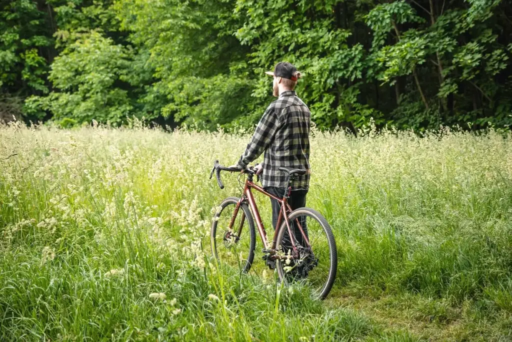
Great days outside begin before the first step, when rail schedules and path segments complement each other rather than compete. Here we connect journey stages into a single arc, considering buffers, daylight, terrain, and real-world delays. The goal is a plan that feels intuitive, forgives small surprises, and preserves energy for the moments that matter, like cresting a ridge at golden hour or catching a quieter off-peak train home with time to spare.

Choosing Your Toolkit
Powerful results come from combining dependable timetable data with rich, accurate maps. Rather than chasing a single perfect app, assemble a toolkit that plays well together: rail APIs for schedules, open mapping layers for surface and elevation, and export formats that synchronize across devices. Prioritize clarity, offline readiness, and the ability to annotate. The right tools amplify judgment, revealing alternatives when signals fail, trains delay, or weather argues for a graceful pivot mid-journey.
Where Schedules Live: GTFS, GTFS-RT, and National Rail APIs
Static GTFS files describe planned service, while GTFS-RT adds live updates like delays and cancellations. Many countries expose APIs or feeds with station codes and stop times you can query or cache. Learn which operators publish reliable updates and how often feeds refresh. The more confidently you interpret these structures, the better you’ll spot brittle connections and create humane margins that protect joy when platforms change or dwell times stretch unexpectedly.
Map Layers That Matter: Elevation, Surface, Access, Closures
A route that fits your timetable can still disappoint if the surface turns sandy, muddy, or blocked. Favor maps with contour lines, slope shading, and verified access tags, and cross-check official closure notices. Annotate water points, gates, and tricky intersections. When elevation gain, footing, and signage are understood, your timing becomes realistic and your pacing smoother, transforming rushed hustles into attentive movement that leaves more room for observation, photography, and conversation.
Interoperability: GPX, GeoJSON, and Offline Packages
Export routes as GPX for universal compatibility and consider GeoJSON for richer metadata. Keep an offline bundle with basemaps, route tracks, station locations, and critical notes. Sync to a watch or bike computer for glanceable cues. Interoperability reduces app lock-in and ensures your plan survives spotty reception, dead batteries, or device swaps. When everything talks together, you spend less time troubleshooting and more time savoring the scent of wet pine and steel brakes cooling.


Workflow: From Idea to Itinerary
Turning inspiration into a smooth day requires a repeatable sequence that respects both timetables and terrain. Start with your constraints, sketch a couple of loop or out-and-back candidates, then stitch rail times around promising lines. Validate distances, gradients, and bailout points. Finally, package assets for offline use and preflight weather, notices, and personal readiness. This method reduces guesswork, replaces nerves with confidence, and creates a crisp rhythm from platform arrival to trail cadence.
Safety and Reliability in the Wild
Reliable timing matters most when conditions change. A thoughtful plan considers fallbacks that respect energy, daylight, and shelter, so you never feel cornered by a missed connection or sudden weather turn. Build communications into your plan, pack extra calories, and pre-mark egress routes. Small choices—warm layers, headlamp batteries, charging cable—become huge gifts when night arrives early, stations close entrances, or your group spreads out. Solid preparation enables bold exploration without reckless risk.

Padding for Delays Without Losing Momentum
Treat padding not as wasted time but as breathing room for moments you want anyway: water refills, photographs, stretches, or reading a page while waiting on a platform. When delays cascade, padding converts stress into patience. If trains align perfectly, the buffer reappears as unhurried trail moments, which are the real point. The trick is enough margin to absorb shocks without expanding the day so much that it loses lively pacing and focus.

Weather Windows, Daylight, and Egress Options
Align high-exposure sections with stable forecasts and generous daylight. Mark side trails to bus stops or alternate stations. Note bridges that can ice over, gullies that flood, and ridges that funnel wind. By deciding exit routes while calm, you’ll act decisively if conditions wobble. Egress options are not invitations to quit; they’re empowering choices that keep morale high and transform a potential ordeal into an elegant pivot you’ll happily recount later.
Alpine Connector: Suburban Train to Ridge Walk
A local S-Bahn rolled in late after a brief signal fault. Because the plan included a generous platform-to-trail buffer and an alternate ascent, the group still reached the ridge before cloud buildup. The later return, already bookmarked, synced cleanly with a quieter platform. What could have been a scramble became a calm adjustment, rewarded by alpenglow and laughter. The lesson: plan two returns, annotate the exact station exit, and keep snacks within easy reach.
Coastal Sprint: Commuter Rail to Clifftop Loop
A spring tide narrowed the window for the beach section, so the outbound train was non-negotiable. The crew boarded early, sat near doors, and used printed notes when reception faltered near tunnels. The loop’s middle segment included a flagged bailout to a hilltop bus if wind spiked. They never needed it, but knowing it existed made the ocean roar feel inviting instead of menacing, and the sunset capped a day that felt perfectly paced.
Urban Escape: Metro Lines and a Greenway at Dusk
City lights tempted late departures, but daylight math favored an earlier metro and a brisk warmup to the greenway. The team saved an offline map tile set and added lamp icons where path lighting improved confidence after twilight. When a friend lagged, predetermined regroup points kept everyone relaxed. The last train back was intentionally one earlier than necessary, leaving time for tea nearby. Finishing unhurried felt luxurious, like a small holiday tucked into Tuesday.
Stories from the Line
Real journeys teach more than diagrams. These vignettes show how thoughtful synchronization transforms unpredictable days into graceful arcs, revealing how tiny choices—a five-minute buffer, a gate noted on a map, a second return option—create space for wonder. Let these experiences inspire routes suited to your landscape, weather, and rail network, and remind you that curiosity plus preparation is a powerful engine, even when an unexpected platform change threatens to rewrite your afternoon.


Engage, Iterate, and Go Further
Your best rail-to-trail route likely emerges after a few joyful experiments, not in a single stroke. Share what worked, what surprised you, and what you would tweak. Ask questions, request data sources for your region, and crowdsource better station exits or safer crossings. Subscribe for templates, checklists, and new tool walkthroughs. Together we sharpen techniques, reduce friction, and grow a library of confident journeys that start on time, end smiling, and unfold beautifully between.